
Big Sur Marathon
A point-to-point on California's Highway 1 between Big Sur and Carmel, with the Bixby Bridge and the Pacific filling the view. Around 500 metres of climbing, and famously scenic.
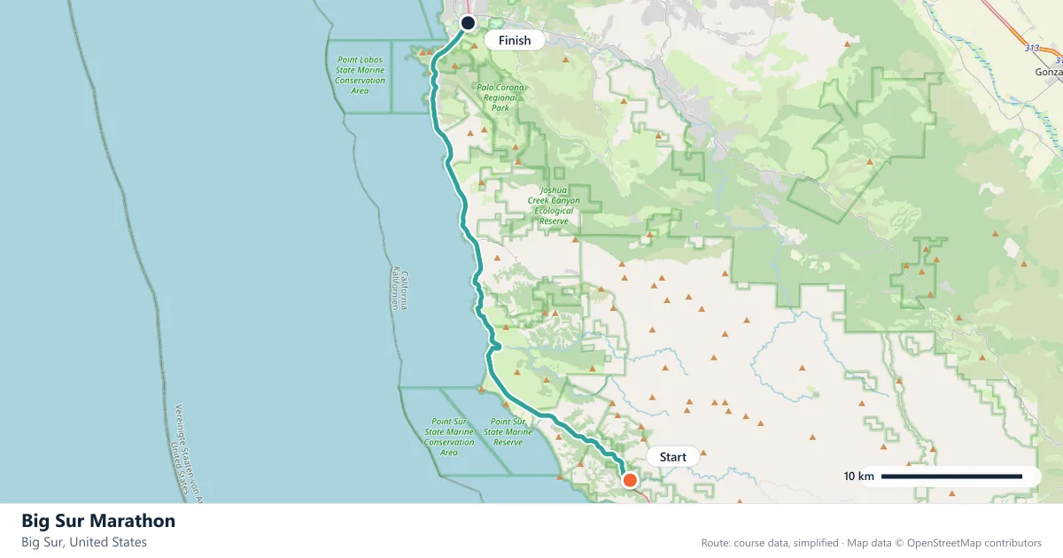
Where it runs
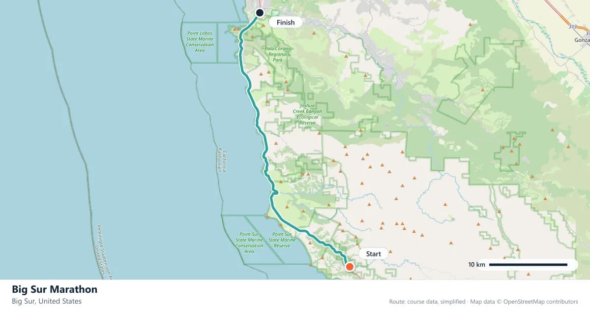
Interactive map
The trace follows the organizer's published course, simplified for the screen: the orange dot is the start, the dark dot the finish. Scroll to zoom, drag to pan.
About this race
A point-to-point on California's Highway 1 between Big Sur and Carmel, with the Bixby Bridge and the Pacific filling the view. Around 500 metres of climbing, and famously scenic.
- Next edition
- 25 April 2027
- Elevation gain
- 527 m
- Profile
- Hilly
- First run
- —
More marathons in United States
More marathons in Americas
About these facts
Dates, course type, climbing and time limits are compiled from the organizer's publications and re-checked each season; elevation is an estimate of total climbing rather than a survey figure. Always confirm race-day details with the organizer before making plans.
Last reviewed 28 September 2026