
Connemara Marathon
The Connemara Marathon is not a city race with a scenic detour; it is a race through open country, and the country sets the terms.
By Global Marathon Routes editorial team · Last reviewed 27 October 2026
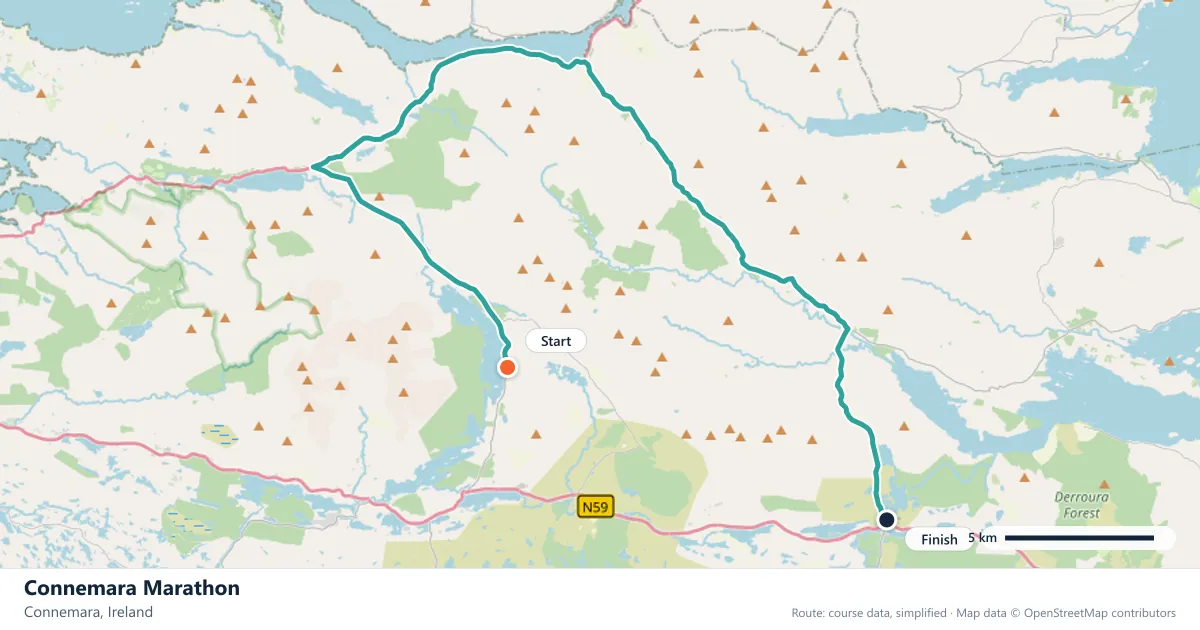
Where does the Connemara Marathon run?
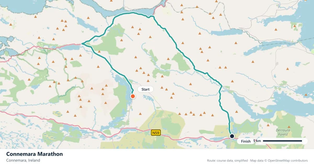
Interactive map
The trace follows the organizer's published course, simplified for the screen: the orange dot is the start, the dark dot the finish. Scroll to zoom, drag to pan.
What is the Connemara Marathon course like?
One of Ireland's wildest road races, looping through the Connemara bogland past Maam Cross and the Maumturk mountains. Shelter is scarce, so the Atlantic weather is part of the course.
- Next edition
- April 2027 (expected)
- Elevation gain
- 368 m
- Profile
- Hilly
- First run
- —
Course guide
The Connemara Marathon is not a city race with a scenic detour; it is a race through open country, and the country sets the terms. The route loops through the bogland past Maam Cross and the Maumturk mountains, climbing about 368 metres. The next edition is expected in April 2027.
Connemara is the western edge of County Galway, a landscape of peat bog, stone walls, small lakes and few trees. Shelter is scarce, and the Atlantic weather can arrive without much warning. That is not a drawback to be managed; it is the reason people enter.
The race is a first marathon with a difference. The distance is the same as anywhere else, but the exposure and the rolling ground make it a day that rewards preparation over ambition.
The course
The route loops through Connemara's bogland, passing Maam Cross and running within sight of the Maumturk mountains. The 368 metres of gain are spread through the loop rather than gathered into a single climb, and the open terrain offers little protection from wind or rain.
The course is a road race, not a trail, but the landscape makes it feel wilder than the surface suggests. Stone walls, drainage ditches and open bog line the route, and the views are long. The loop format means the middle of the race can feel remote, with the next marker a long way off.
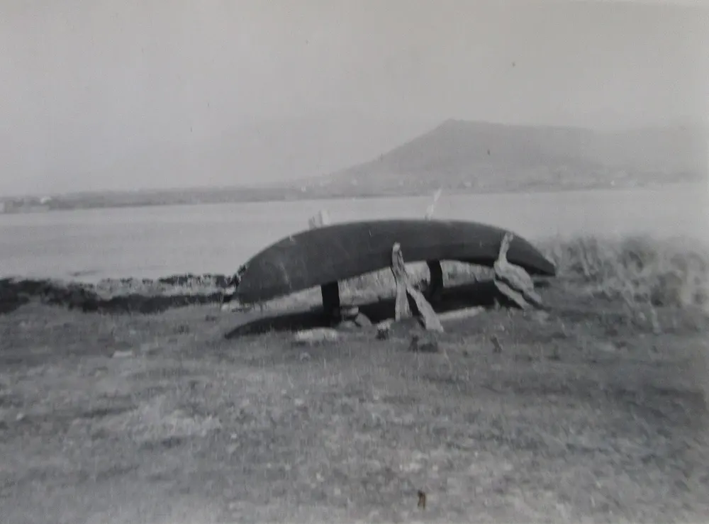
Currach, Connemara 1950s. Photo: Family Photo of which I am the owner of rights / Wikimedia Commons, CC BY-SA 4.0.
Maam Cross and the Maumturk horizon
Maam Cross is a crossroads in the middle of Connemara, and it gives the race one of its few fixed points. Around it, the land opens into bog and small lakes, with the Maumturk mountains rising to the north and the Twelve Bens further west.
The mountains are not alpine in scale, but they dominate the horizon and explain the weather. Cloud gathers on them quickly, and rain can move across the valley while the sun is still shining. The race does not climb them, but their presence is felt in every exposed kilometre.
This is a landscape shaped by people as well as geology. The stone walls that divide the fields are a reminder of generations of small farming, and the bogland has been cut for peat for centuries. Running through it is a way of seeing Connemara that no bus tour can match.
When the Atlantic sets the terms
Shelter is scarce on this course, and that changes how the race should be run. Layers need to be versatile: something that keeps the wind off at the start, something that can be opened or removed when the effort rises, and something that stays warm when the rain arrives.
The weather also affects fuelling. Eating and drinking in cold, wet conditions is harder than it looks, so rehearse it in training. Do not wait until you are miserable to take the first gel or the first drink.
Pacing is the third part of the same problem. The rolling ground and the wind make effort a better guide than pace, and the middle of the loop is not the place to chase a time. Get to the far side of the course with something left, then use it on the way home.
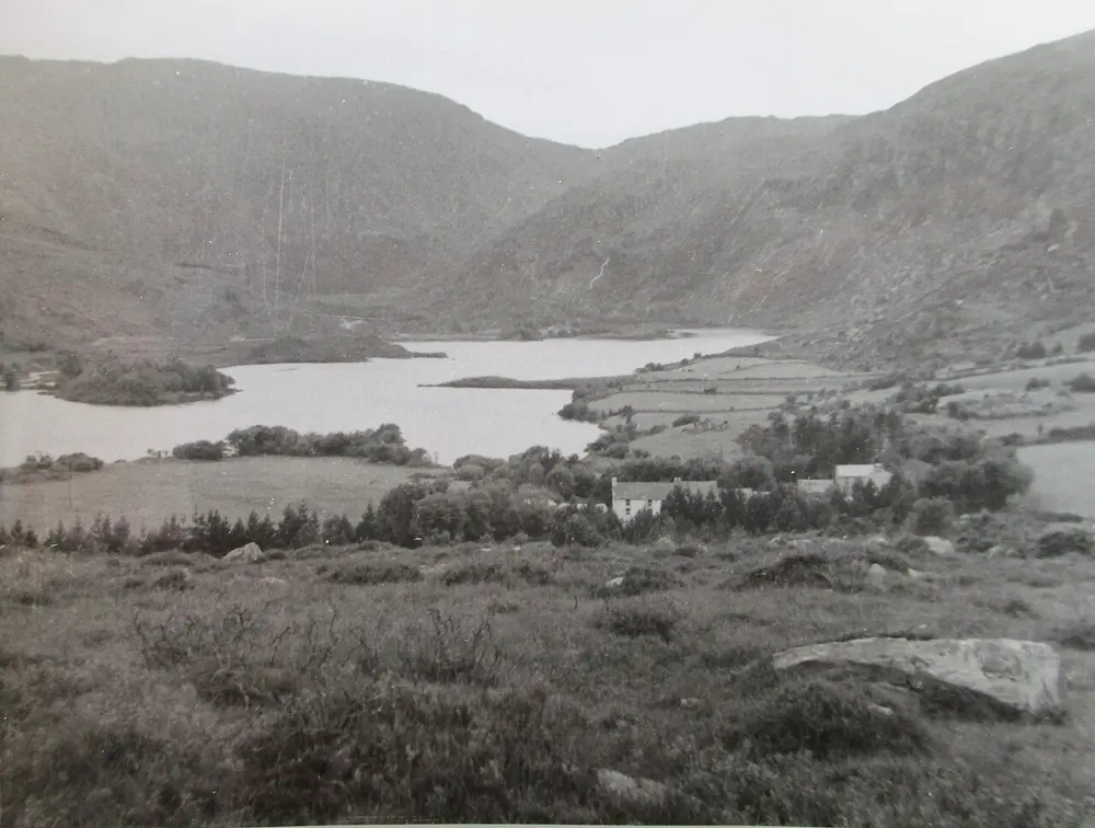
Connemara 1950s. Photo: Family Photo of which I am the owner of rights / Wikimedia Commons, CC BY-SA 4.0.
A race beyond the city
Connemara is not a place you pass through by accident. The roads are narrow, the villages are small, and the weather can slow everything down. Runners should plan their journey around the race rather than treating it as a day trip from Galway city.
The reward is a part of Ireland that many visitors never see properly: the Gaeltacht, the bog roads, the small harbours and the mountains. The race is a reason to stay a night or two, and the landscape is a reason to come back.
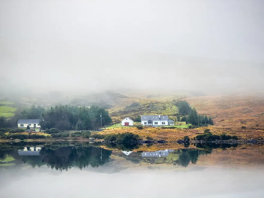
Connemara Reflection. Photo: Michael Deligan / Wikimedia Commons, CC BY-SA 4.0.
Frequently asked questions
Answers to the questions runners ask before entering, drawn from this race's course guide and the directory's own data — the sources behind them are listed below.
When is the Connemara Marathon?
The next edition is expected in April 2027. The date is provisional, so confirm it with the organiser before making travel plans.
Is the Connemara Marathon a hilly course?
Yes. The route climbs about 368 metres through the bogland. The exposure adds difficulty, making it a genuine hill race even though the climbs are spread across the loop.
Is Connemara a good first marathon?
It is a first-marathon option, but a demanding one. The distance is standard; the hills, the wind and the lack of shelter are not. Prepare specifically for the conditions rather than assuming a city-race experience.
Where is the Connemara Marathon run?
It is run in Connemara on a loop through the bogland, passing Maam Cross and running near the Maumturk mountains. The route is open country, not a city course.
Why is shelter a factor on the course?
The route crosses open Connemara bogland where shelter is scarce, so the Atlantic weather is part of the race. Wind and rain change the effort required, which is why layers and a realistic pace matter.
What should I wear?
Bring layers you can add or remove, including a windproof and a waterproof top. Conditions can change during the race, and the most exposed sections are not always the ones you expect.
More marathons in Ireland
More marathons in Europe
Sources for this page
What each source below is used for on this page, and where to check this race yourself.
- World Athletics — the label calendar and the road-race regulations. Used to check whether the race holds a World Athletics label, and its elite competition details.
- AIMS — the international course-measurement standard behind the 42.195 km distance, and the AIMS race calendar.
- The organizer's own publications — course maps, race handbooks and published results. The date, course character and climbing on this page are compiled from them and re-checked each season.
Where do these facts come from?
Dates, course type, climbing and time limits are compiled from the organizer's publications and re-checked each season; elevation is an estimate of total climbing rather than a survey figure. Always confirm race-day details with the organizer before making plans.
Last reviewed 27 October 2026