
Salvador Marathon
Salvador is built on two levels, and the marathon uses both. The race links the lower city with the colonial centre, climbing between them before following the bay, and the 2027 edition is expected…
By Global Marathon Routes editorial team · Last reviewed 27 October 2026
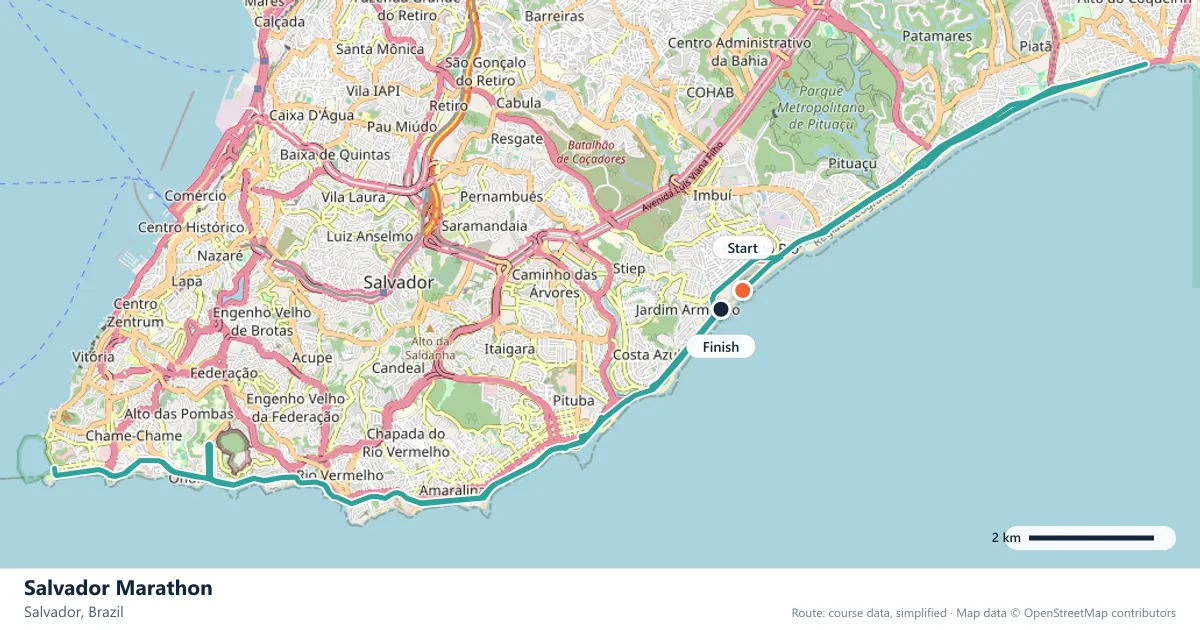
Where does the Salvador Marathon run?
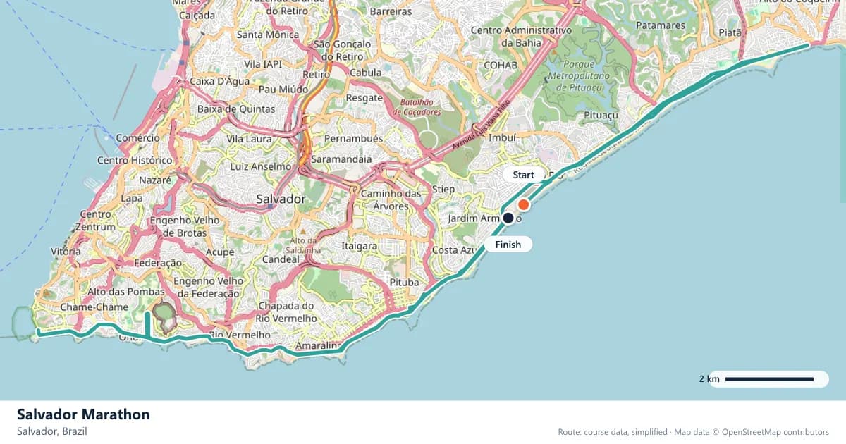
Interactive map
The trace follows the organizer's published course, simplified for the screen: the orange dot is the start, the dark dot the finish. Scroll to zoom, drag to pan.
What is the Salvador Marathon course like?
Through Brazil's first capital, from the lower city up to the colonial centre and along the bay. Warm, rolling, and lined with drumming crowds for most of the way.
- Next edition
- September 2027 (expected)
- Elevation gain
- 104 m
- Profile
- Undulating
- First run
- —
Course guide
Salvador is built on two levels, and the marathon uses both. The race links the lower city with the colonial centre, climbing between them before following the bay, and the 2027 edition is expected in September.
About 104 metres of climbing is spread across an undulating route, but the total hides the shape of the day. The climb from the lower city to the colonial centre is the defining move, and the rest of the route rolls along the bay in short, repeated rises. Warm air and drumming crowds complete the picture.
What makes Salvador distinctive is not the difficulty of the profile but the atmosphere. This is Brazil's first capital, a city with a deep Afro-Brazilian identity, and the marathon feels like a street festival that happens to cover 42.195 km.
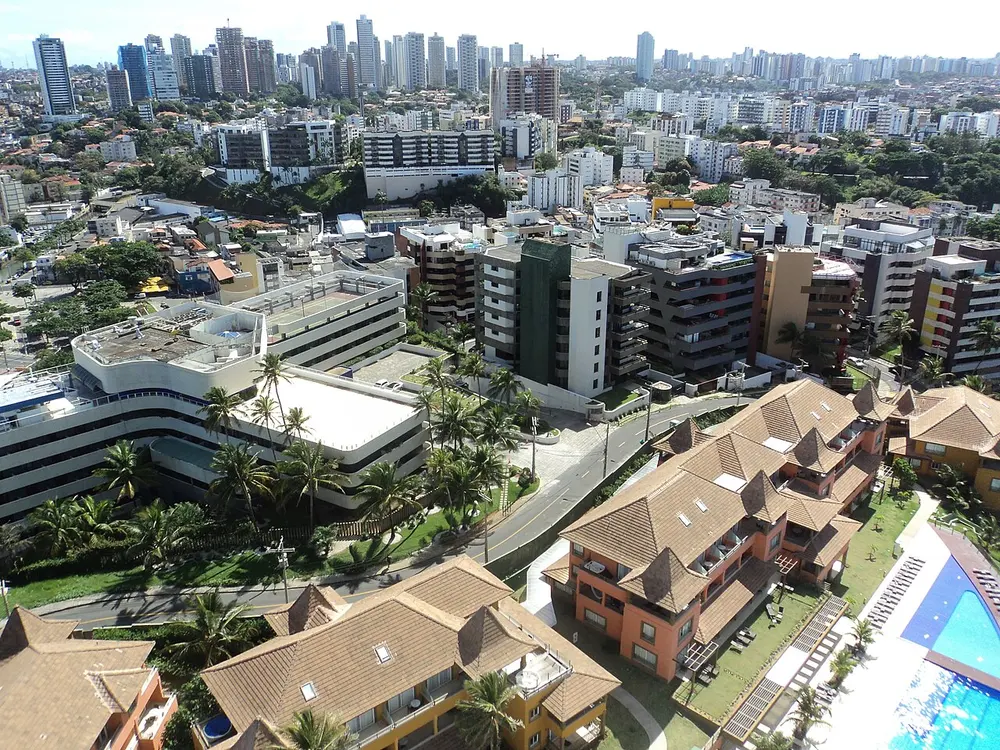
Skyline of Salvador, Brazil. Photo: Hentzer / Wikimedia Commons, CC BY-SA 3.0.
The course
The route climbs from the lower city to the colonial centre before turning along the bay. That sequence gives the race its structure: the port and the lower streets first, the historic upper city next, and then the waterfront. The transitions are gradual rather than abrupt, but the elevation is always present.
About 104 metres of climb is spread across the route, mostly in short rises rather than one long ascent. Individually, none of them is severe. Collectively, they prevent the legs from ever settling into a completely flat rhythm, and the warmth makes each one feel a little more expensive.
Between the lower city and the Pelourinho
Salvador's geography is vertical. The Cidade Baixa sits at the water's edge, the Cidade Alta on the bluff above, and the Elevador Lacerda carries people between them. The historic centre, the Pelourinho, is a tight grid of colonial streets, churches and squares on the upper level.
The race climbs between these worlds, and the change is dramatic. The lower city is commercial and port-facing; the upper city is colourful and historic, with baroque churches and cobbled streets. Runners who have the breath to look around will see the city change character as the course rises.
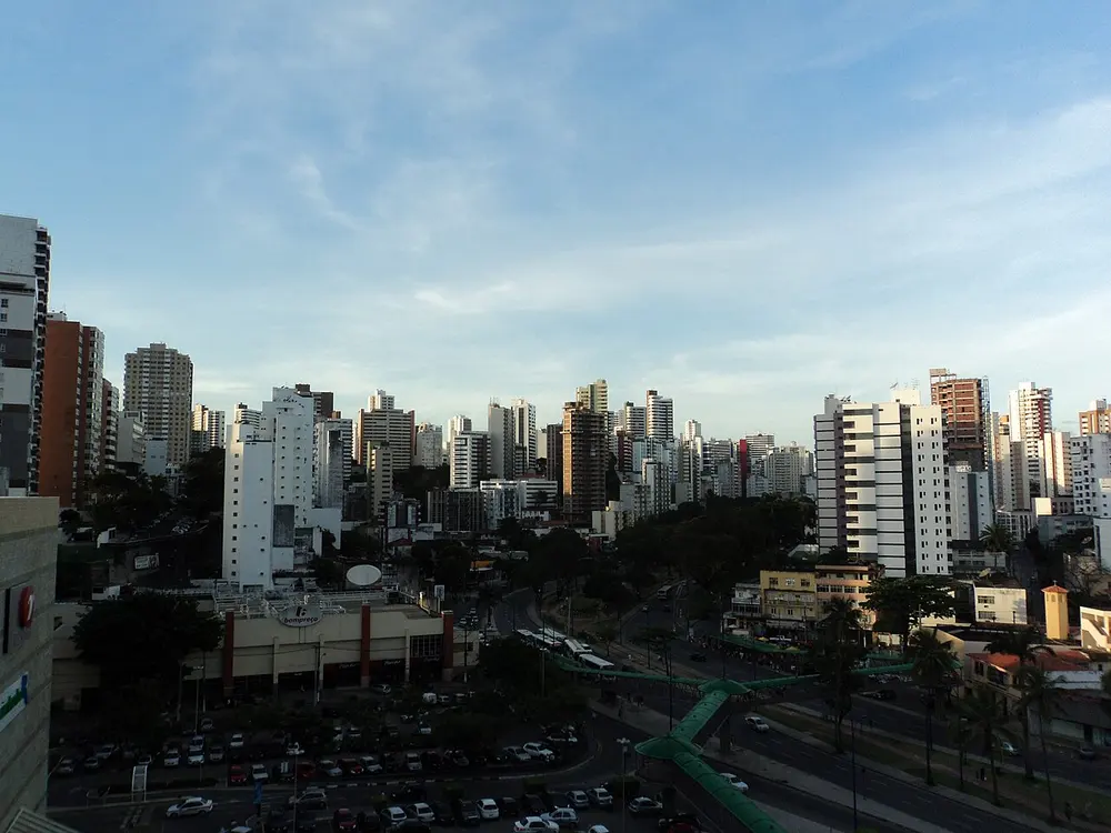
Barra and Graça, skyline of Salvador, Brazil. Photo: The original uploader was Hentzer at English Wikipedia . / Wikimedia Commons, Public domain.
The bay and the drums
The Bay of All Saints gives Salvador its long waterfront and much of its identity. The course follows the bay for part of the day, with the water opening up the views after the density of the historic centre.
The drumming is the other constant. Salvador's music culture is part of the race, and groups line much of the route. The sound is a lift, but it can also pull runners along faster than planned. The best approach is to enjoy it without letting it reset the pace.
Heat, pace and patience
The warmth is the race's quiet difficulty. A 104-metre profile might suggest a straightforward day, but heat adds a cost to every kilometre, and the rolling ground means there is no free section. Hydration and an even effort matter more than the climb total.
Start conservatively and treat the first half as a long warm-up rather than a race. The drumming and the crowds will make the pace feel easier than it is, and the closing kilometres will reveal whether the restraint was real.
Debuting to the drums
The race is suited to a first marathon, provided the heat is respected. The climbing is modest, the route is varied and the atmosphere is encouraging. A debutant who starts slowly and stays hydrated can have a memorable day.
The city is the reward. Salvador offers the lower city, the Pelourinho, the bay and the drums in one route, and the marathon is as much a cultural tour as a race. Very few 42.195 km courses are this alive.
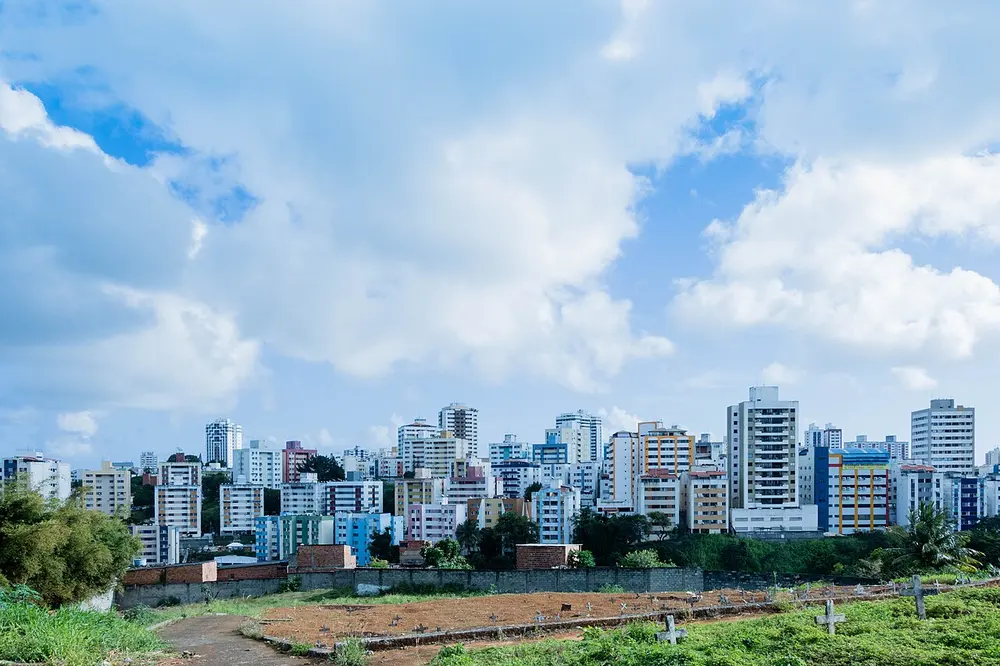
Skyline Salvador Bahia Brazil 2018. Photo: Paul R. Burley / Wikimedia Commons, CC BY-SA 4.0.
Frequently asked questions
Answers to the questions runners ask before entering, drawn from this race's course guide and the directory's own data — the sources behind them are listed below.
When is the Salvador Marathon?
The 2027 edition is expected in September. The exact date has not been confirmed, so check the organiser's announcement before booking travel.
Is the Salvador Marathon a flat course?
No. It is undulating, with about 104 metres of climbing. The route rises from the lower city to the colonial centre and then rolls along the bay.
Is Salvador a good first marathon?
Yes, the race is suited to a first marathon, as long as the warmth is taken seriously. The climbing is modest, but heat and rolling ground reward a conservative start.
What is the atmosphere like?
Drumming groups line much of the course, and the crowds give the race a festival feel. The noise is one of the highlights, but it can also pull runners into going out too quickly.
Where is the Salvador Marathon run?
It runs through Salvador, Brazil, from the lower city up to the colonial centre and along the Bay of All Saints.
Why is the climb from the lower city significant?
Salvador is split between a lower city at the water's edge and an upper city on the bluff, and the race climbs between them. It is the defining ascent of the day, even though the total climbing is modest.
More marathons in Brazil
More marathons in Americas
Sources for this page
What each source below is used for on this page, and where to check this race yourself.
- World Athletics — the label calendar and the road-race regulations. Used to check whether the race holds a World Athletics label, and its elite competition details.
- AIMS — the international course-measurement standard behind the 42.195 km distance, and the AIMS race calendar.
- The organizer's own publications — course maps, race handbooks and published results. The date, course character and climbing on this page are compiled from them and re-checked each season.
Where do these facts come from?
Dates, course type, climbing and time limits are compiled from the organizer's publications and re-checked each season; elevation is an estimate of total climbing rather than a survey figure. Always confirm race-day details with the organizer before making plans.
Last reviewed 27 October 2026