
Porto Marathon
Porto's marathon makes its case with water on both sides. The course follows the Douro out of the city, reaches the Atlantic, and uses two bridge crossings to move between banks, so the day unfolds…
By Global Marathon Routes editorial team · Last reviewed 27 October 2026
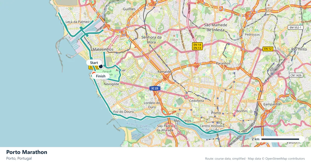
Where does the Porto Marathon run?
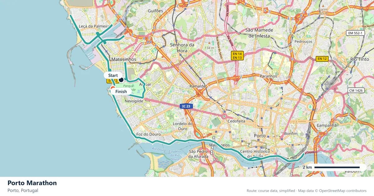
Interactive map
The trace follows the organizer's published course, simplified for the screen: the orange dot is the start, the dark dot the finish. Scroll to zoom, drag to pan.
What is the Porto Marathon course like?
An autumn race along the Douro and out to the Atlantic, crossing Porto's bridges twice. Sea-level and mostly flat, with the river gorge providing the only real climbing.
- Next edition
- 08 November 2026
- Elevation gain
- 164 m
- Profile
- Undulating
- First run
- —
Course guide
Porto's marathon makes its case with water on both sides. The course follows the Douro out of the city, reaches the Atlantic, and uses two bridge crossings to move between banks, so the day unfolds as long, level stretches broken by the only real climbs on the route. The next edition is on Sunday 8 November 2026.
The measured profile is undulating, with about 164 metres of climbing. That is little for a marathon, and most of the route sits at sea level, but the figure is concentrated in the crossings and the approach to the river gorge. The race holds a World Athletics Label, and its appeal is straightforward: a late-autumn date, a coastal route and a course that is manageable without being featureless.
It is also a sensible place for a first marathon. The riverside kilometres give a debutant room to find a rhythm, and the climbs are short enough to break into a walk if the day demands it. The risk is the opposite of a mountain race: the flat stretches invite a pace that the second bridge may not forgive.
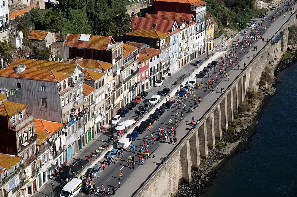
Marathon runners along the Douro River, Porto. Photo: Matt Kieffer from London, United Kingdom / Wikimedia Commons, CC BY-SA 2.0.
The course
The race uses the Douro as its organising line. From the city the route runs downstream towards the river mouth, then turns onto the coast for the run along the Atlantic. The long riverside sections are flat and open, with the water always to one side and the city or the port warehouses to the other.
The two bridge crossings are the structural set pieces. Each one lifts the course out of the riverside rhythm, asks for a short, sustained effort and then returns the race to the bank. The gorge is the reason those crossings matter: the Douro cuts a deep channel here, and the roads that reach the bridges have to climb to meet them.
Sea level makes the course feel generous. There is no altitude to account for and no mountain pass waiting in the second half. What there is, instead, is a change of surface and direction every time the route crosses the water, which is why the race never settles into the monotony of a single long boulevard.
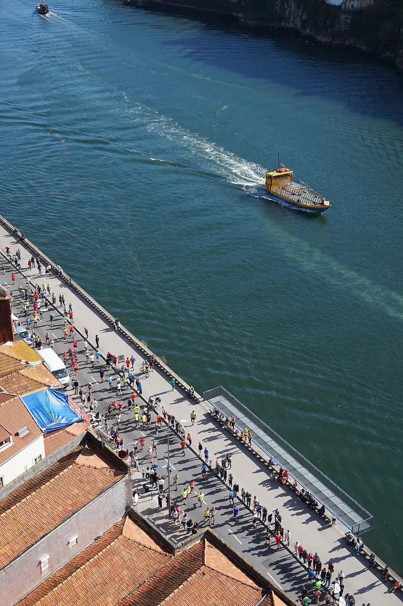
Marathon runners along the Douro River, Porto (photo 2). Photo: Matt Kieffer from London, United Kingdom / Wikimedia Commons, CC BY-SA 2.0.
Crossing the Douro twice
A bridge in the middle of a marathon is never just a bridge. The approach ramp is a climb, the deck is exposed, and the descent on the far side can tempt you into a pace you have not earned. The Porto course asks for two of these efforts, and where they fall matters more than the total climbing.
Treat each crossing as its own short segment. Shorten the stride, keep the shoulders loose and resist the urge to race the runner beside you. The reward is the view up and down the river, which is one of the reasons people choose this race in the first place.
Between the crossings, the route gives you room to recover. The flat riverside roads are where the race is actually run: steady kilometres, regular fuelling, no heroics. Runners who spend their energy on the bridges often find the coastal stretch much longer than it looked on the profile.
The two banks
Porto and Vila Nova de Gaia face each other across the Douro, and the race uses that geography rather than a single city loop. The north bank has the tight streets and arcades of the Ribeira; the south bank has the port wine lodges that made the river famous. Even when the route is not running directly past them, they define the view from the water.
That contrast is part of the appeal. A city marathon can blur into one long street, but Porto keeps changing the frame: river, bridge, coast, city again. The two crossings also break the field into recognisable chapters, which makes the race easier to pace and easier to remember.
The Atlantic end is the most open part of the day. After the enclosure of the gorge, the coastal roads feel wide, and the finish draws closer along the water. It is a good place to settle rather than surge: the hardest climbing is behind you, but the last hour still has to be run.
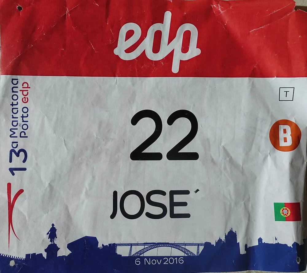
Dorsal Maratona do Porto. Photo: Joseolgon / Wikimedia Commons, CC BY-SA 4.0.
What the profile leaves out
The 164 metres are not evenly spread, and that is the single most useful thing to know. A profile that looks modest on paper can still hurt when the climbs arrive at the bridges and the legs are already carrying 30 kilometres. The total is a summary; the placement is the race.
For a first marathon, the practical approach is to run the riverside sections conservatively and let the bridges come to you. The course is not severe enough to require a mountain strategy, but it is varied enough that pacing by effort, rather than by watch, pays off.
November also shapes the build-up. The race sits at the end of the autumn, after the summer season has finished, which gives runners a clear target without the heat of an early-autumn event. The date is late enough that a full summer and early-autumn block fits comfortably in front of it.
Frequently asked questions
Answers to the questions runners ask before entering, drawn from this race's course guide and the directory's own data — the sources behind them are listed below.
When is the Porto Marathon?
The next edition is on Sunday 8 November 2026. It is a late-autumn race, and the course follows the Douro to the Atlantic.
Is the Porto Marathon flat?
Mostly, but not entirely. The route sits at sea level and is level for long stretches, yet it climbs about 164 metres in total. The two bridge crossings and the river gorge hold almost all of that climbing, so the race is better described as undulating.
Is Porto a good first marathon?
Yes. The long riverside kilometres are forgiving, the climbs are short, and the sea-level setting removes altitude from the equation. Start slowly enough that the second bridge does not become a survival exercise.
Where does the Porto Marathon run?
The course follows the Douro out towards the Atlantic and moves between the two banks over the city's bridges. It stays close to the river and the coast rather than heading into the countryside.
How many bridges does the course cross?
The route crosses Porto's bridges twice. Those crossings are also where most of the climbing is concentrated.
What label does the Porto Marathon hold?
It holds a World Athletics Label. The race is part of the international label road-race calendar.
More marathons in Portugal
More marathons in Europe
Sources for this page
What each source below is used for on this page, and where to check this race yourself.
- World Athletics — the label calendar and the road-race regulations. Used to check whether the race holds a World Athletics label, and its elite competition details.
- AIMS — the international course-measurement standard behind the 42.195 km distance, and the AIMS race calendar.
- The organizer's own publications — course maps, race handbooks and published results. The date, course character and climbing on this page are compiled from them and re-checked each season.
“A World Athletics Label denotes a full application of the Competition and Technical Rules in, at a minimum, the elite component of the competition. Labels also denote superior standards in event organisation, safety and runner experience, support from public authorities to the event and a financial commitment to anti-doping.”
Where do these facts come from?
Dates, course type, climbing and time limits are compiled from the organizer's publications and re-checked each season; elevation is an estimate of total climbing rather than a survey figure. Always confirm race-day details with the organizer before making plans.
Last reviewed 27 October 2026