
Budapest Marathon
Budapest is a city built around a river, and its marathon uses that geography more directly than most.
By Global Marathon Routes editorial team · Last reviewed 27 October 2026
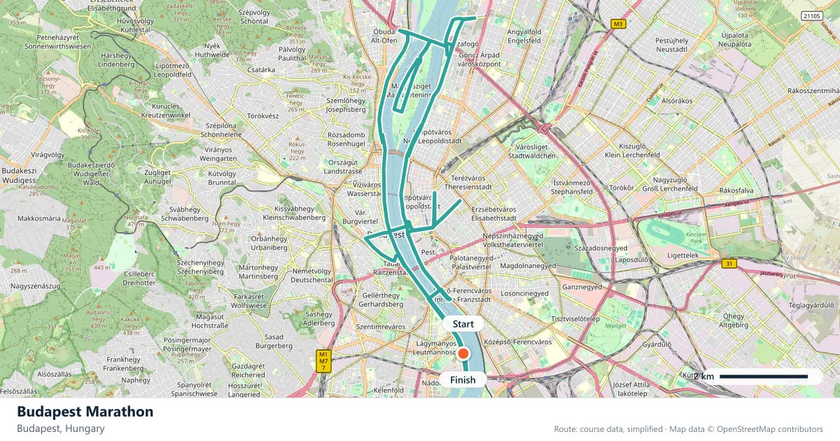
Where does the Budapest Marathon run?
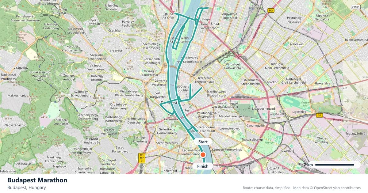
Interactive map
The trace follows the organizer's published course, simplified for the screen: the orange dot is the start, the dark dot the finish. Scroll to zoom, drag to pan.
What is the Budapest Marathon course like?
Follows both banks of the Danube from Margaret Island down past the parliament and the castle. Flat, fast and held on an autumn weekend when the city is at its best.
- Next edition
- October 2027 (expected)
- Elevation gain
- 85 m
- Profile
- Flat
- First run
- —
Course guide
Budapest is a city built around a river, and its marathon uses that geography more directly than most. The route follows both banks of the Danube from Margaret Island down past the parliament and the castle, and the 2026 edition was held on 11 October. The course stays flat, climbing about 85 metres over the full distance.
The Danube is not just scenery here. It is the organising principle. Runners cross from Buda to Pest and back, and the landmarks alternate between the two banks. The flat riverbank roads keep the effort steady, while the crossings give the race its rhythm.
Budapest in October is a city at ease: the summer crowds have thinned, the thermal baths are still open, and the cafés spill onto the streets. The race uses that mood rather than fighting it, which is why an autumn weekend here feels like a city break with a marathon attached.
The course
The route works along both banks of the Danube and passes Margaret Island, the parliament and the castle. The 85 metres of gain are spread across the race, and the riverbank roads are the defining surface. The landmarks stay close for most of the day.
The two banks give the marathon its shape. Crossing the river changes the view, the noise and the light, and it breaks the distance into sections without adding any real climbing. The main risk is the flat profile: it is easy to run faster than planned while the landmarks slide past, and the second half is where that bill arrives.
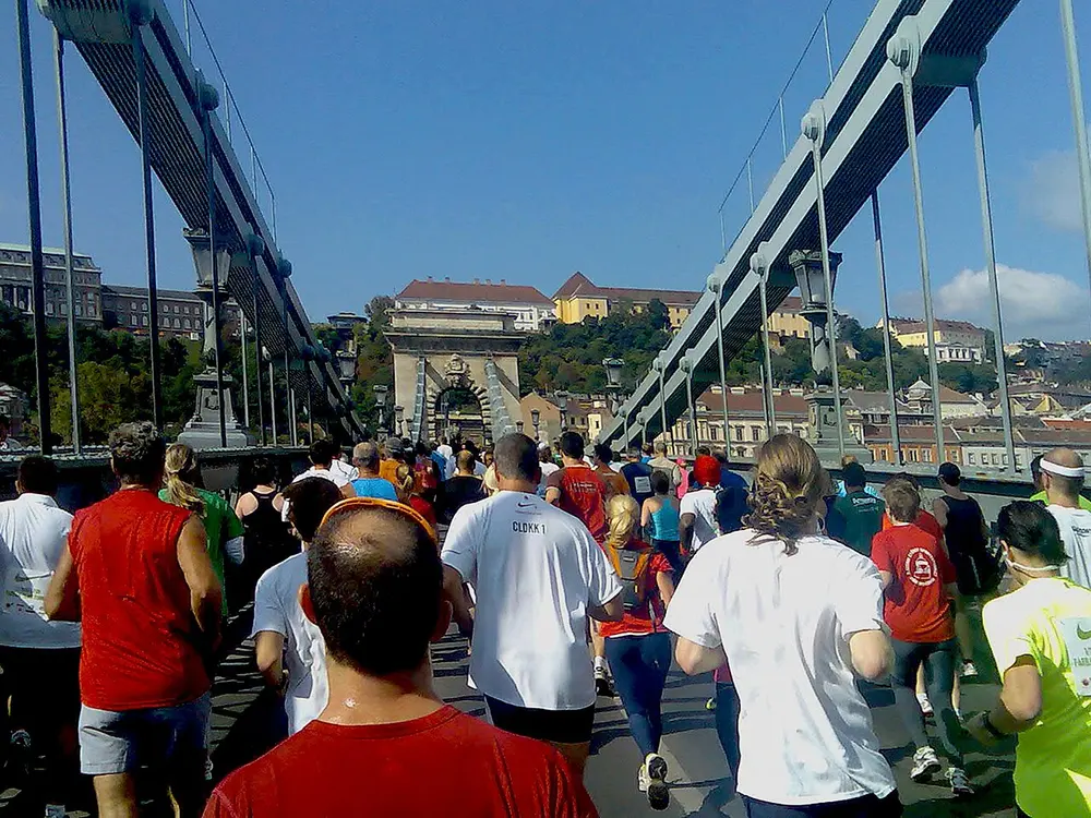
Budapest half marathon 2010. Photo: Nammarci / Wikimedia Commons, CC BY-SA 3.0.
Two banks, one river
Buda and Pest are different cities that happen to face each other across the water. Buda rises towards the castle hill and the quiet streets of the old town; Pest spreads out across the plain, with the parliament, the embankment and the wide boulevards. The marathon uses both.
The river itself is the constant. North of the centre, Margaret Island splits the Danube into two channels, and its parks and paths make it one of the city's favourite places to run. Further south, the parliament faces the water from the Pest side, and the castle sits above the Buda bank.
The crossings are where the race changes gear. Each bridge brings a short ramp, a change of surface and a new view. They are better treated as markers than as places to make up time.
Margaret Island and the long riverfront
Margaret Island is the race's northern anchor. It is a car-free park in the middle of the Danube, with gardens, ruins and a running track that makes it a natural home for a marathon. The route takes its bearings from the island before heading downstream towards the centre.
The riverfront that follows is the most scenic part of the course. The parliament, the castle and the bridges give the race a sequence of postcard views, and the flat embankment means the running stays controlled. On a still autumn morning the water doubles the city, which is one of the reasons runners come back.
The race keeps the river in view for long stretches, and the city does the rest. It is a course that shows off Budapest rather than hiding it behind an industrial loop.
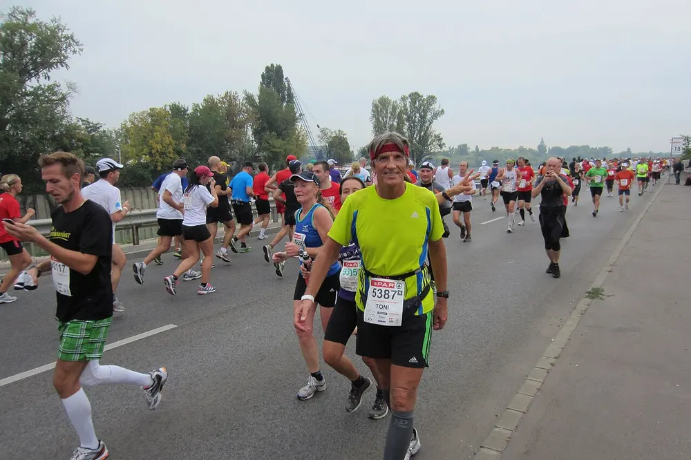
Dr. Anton Reiter, Budapest marathon, Oct. 7, 2012. Photo: Epadechta / Wikimedia Commons, CC BY-SA 4.0.
October in Budapest
The race falls on an autumn weekend when the city is at its best, and the date is a reason to arrive early or stay on. The thermal baths, the Great Market Hall and the ruin bars are all part of the Budapest experience, and the riverfront is at its most comfortable in the softer autumn light.
It is also a busy time in the city. Book accommodation early, and plan the weekend around the race rather than trying to fit everything in on the same day. The marathon deserves fresh legs and an early night.
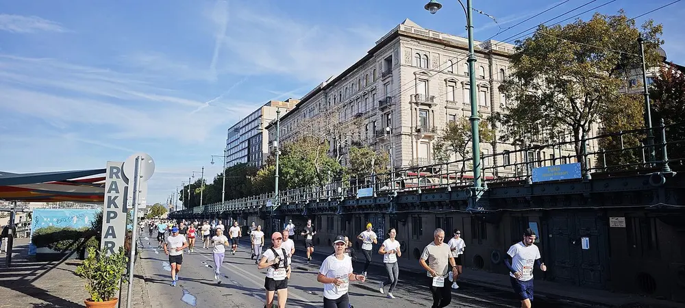
SPAR Budapest Marathon Festival 2026. Photo: Elekes Andor / Wikimedia Commons, CC BY 4.0.
Frequently asked questions
Answers to the questions runners ask before entering, drawn from this race's course guide and the directory's own data — the sources behind them are listed below.
When is the Budapest Marathon?
The edition covered here was held on 11 October 2026. It is an autumn race on a flat course along the Danube.
Is the Budapest Marathon a flat course?
Yes. The route climbs about 85 metres in total, with no sustained ascent. The riverbank roads are level, and the low gain makes the profile forgiving.
Is Budapest a good first marathon?
The flat course, the city route and the autumn date make it an approachable debut. The main challenge is the distance and the temptation to run the opening kilometres too quickly while the landmarks pass.
Where is the Budapest Marathon run?
It is run in Budapest along both banks of the Danube, from Margaret Island past the parliament and the castle. The route uses both sides of the river rather than staying on one bank.
Which landmarks does the Budapest Marathon pass?
The course follows the Danube from Margaret Island and passes the parliament and the castle. Those landmarks structure the route and stay close throughout.
How many times does the course cross the Danube?
The race uses both banks, so there are several crossings rather than one. Each one changes the view and adds a short ramp, but none of them is a significant climb.
More marathons in Europe
Sources for this page
What each source below is used for on this page, and where to check this race yourself.
- World Athletics — the label calendar and the road-race regulations. Used to check whether the race holds a World Athletics label, and its elite competition details.
- AIMS — the international course-measurement standard behind the 42.195 km distance, and the AIMS race calendar.
- The organizer's own publications — course maps, race handbooks and published results. The date, course character and climbing on this page are compiled from them and re-checked each season.
Where do these facts come from?
Dates, course type, climbing and time limits are compiled from the organizer's publications and re-checked each season; elevation is an estimate of total climbing rather than a survey figure. Always confirm race-day details with the organizer before making plans.
Last reviewed 27 October 2026