
Baku Marathon
Baku is a city of wind and water, and its marathon is shaped by both. The route leaves the old city behind and follows the Caspian waterfront, with the Flame Towers marking the skyline above the…
By Global Marathon Routes editorial team · Last reviewed 27 October 2026
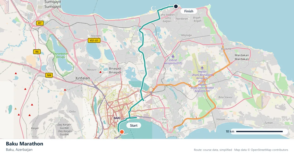
Where does the Baku Marathon run?
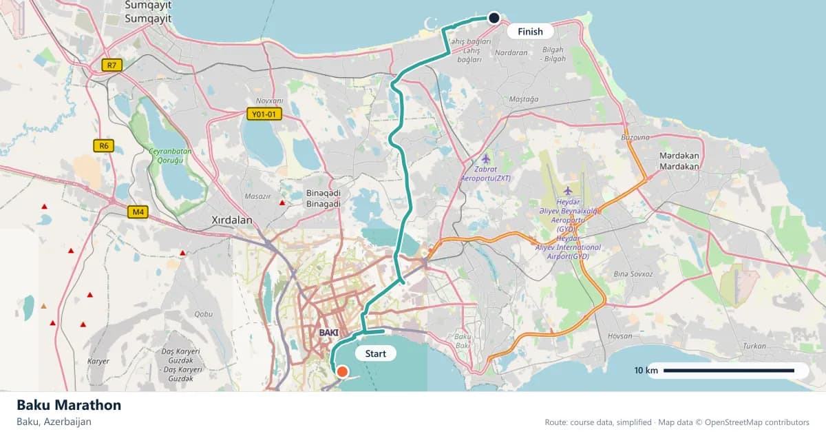
Interactive map
The trace follows the organizer's published course, simplified for the screen: the orange dot is the start, the dark dot the finish. Scroll to zoom, drag to pan.
What is the Baku Marathon course like?
Runs along the Caspian waterfront out of Baku's old city, past the Flame Towers. Rolling, breezy and usually warm by the time the field turns for home.
- Next edition
- May 2027 (expected)
- Elevation gain
- 216 m
- Profile
- Undulating
- First run
- —
Course guide
Baku is a city of wind and water, and its marathon is shaped by both. The route leaves the old city behind and follows the Caspian waterfront, with the Flame Towers marking the skyline above the shore. The next edition is expected in May 2027, when the field will again run a rolling course of about 216 metres of climbing and turn for home into the warmth of the day.
The profile is modest enough to suggest fast times, and the course has a reputation for them. But the waterfront is exposed, the breeze is rarely absent, and the second half usually costs more than the first. Baku is a race where the weather writes the splits.
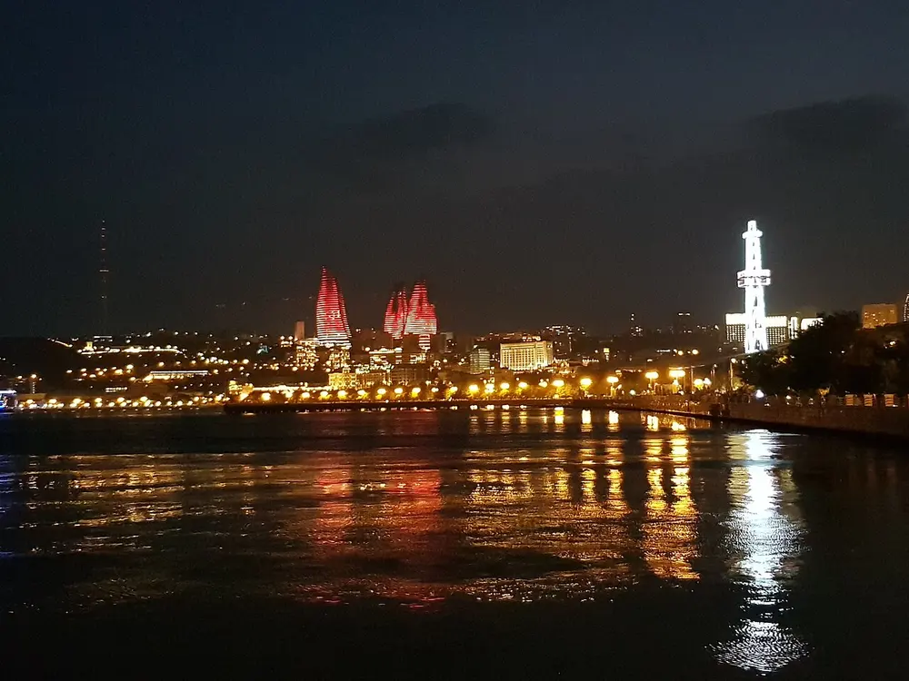
BAKU AT NIGHT .RED TOWERS.באקו בלילה מגדלים באדום. Photo: Avisadehh / Wikimedia Commons, CC0.
The course
The race runs along the Caspian shore out of Baku's old city, passing the Flame Towers before the route turns back. The waterfront gives the course its long views and its open feel; the city gives it the contrast of the walled old quarter and the modern towers above the bay.
About 216 metres of climbing is spread across the route in short rises and dips. None of them is severe, but they are frequent enough that the course never settles into a true flat rhythm. The old city's stone walls and the Flame Towers are the two visual anchors, one historic and one entirely contemporary.
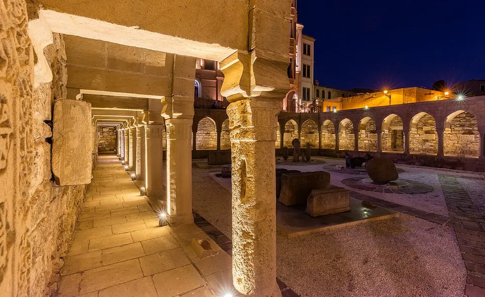
Centro histórico, Baku, Azerbaiyán, 2016-09-26, DD 221-223 HDR. Photo: Diego Delso / Wikimedia Commons, CC BY-SA 4.0.
The wind and the return
Baku's nickname, the City of Winds, is not decorative. The Caspian waterfront is exposed, and the breeze can be a help on the way out and a stubborn wall on the way back. Runners who go out hard with a tailwind often discover the cost when the course turns.
The second half also tends to be the warmer half. The field turns for home with the day already established, and the combination of warmth and an exposed shore makes the return the place to protect your rhythm. Drink early, run by effort and do not treat the outward kilometres as free.
Leaving the old city
The old city, Icherisheher, is a dense tangle of walls, courtyards and lanes beside the modern waterfront. The race uses it as a point of departure rather than a maze to negotiate: the route opens out along the shore and lets the city recede. The Flame Towers, on the hillside above, stay in view as a marker.
That contrast is the course's character. You are never far from the water, and the skyline keeps changing between the medieval and the new. It is a scenic route, but not a soft one: the exposure and the rollers keep the effort honest.
Below sea level
Baku sits below sea level on the Absheron Peninsula, so there is no altitude to blame for a hard day. The air is dense rather than thin, and the course's difficulty comes entirely from its hills, its wind and its warmth.
That is a useful thing to know when planning. A runner arriving from a high-altitude city may find the breathing easier than expected; a runner from a cool coast may find the warmth and exposure harder. The course rewards heat practice and a patient first half more than hill strength.
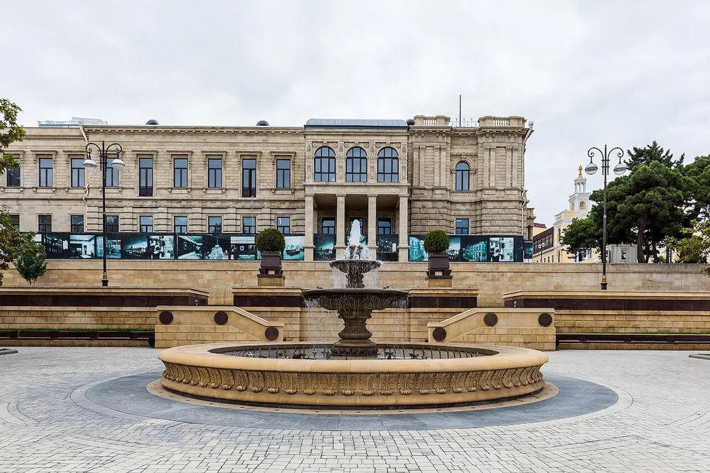
Fuente en Baku, Azerbaiyán, 2016-09-26, DD 45. Photo: Diego Delso / Wikimedia Commons, CC BY-SA 4.0.
What May asks
May is late spring in Baku, and the day is usually warm by the time the field turns for home. The race is not a summer furnace, but it is not a cool-weather marathon either. The best plan is to start conservatively, take fluids at every opportunity and save something for the return along the shore.
The upside is a genuinely quick course. With about 216 metres of climbing and long waterfront stretches, Baku can produce fast times when the wind cooperates. It is not a first-marathon choice in the usual sense; the exposure and the rolling ground ask for experience. But for runners chasing a time in an unusual setting, it has a clear appeal.
Frequently asked questions
Answers to the questions runners ask before entering, drawn from this race's course guide and the directory's own data — the sources behind them are listed below.
When is the Baku Marathon?
The next edition is expected in May 2027. The exact date is still provisional, so confirm it before booking travel.
Is the Baku Marathon flat or hilly?
It is undulating, with about 216 metres of climbing. The rises are short rather than severe, but there are enough of them that the course never feels completely flat.
Where does the course go?
The route runs along the Caspian waterfront out of Baku's old city and passes the Flame Towers before turning for home. The old quarter and the modern skyline frame the race.
Is Baku a good course for a personal best?
The course is quick enough to support a fast time, and the long waterfront stretches help. But the breeze and the warming return through the second half can take more out of you than the profile suggests.
Is Baku below sea level?
Yes. The city sits below sea level on the Absheron Peninsula, so altitude is not a factor. The challenges come from the rolling ground, the wind and the warmth.
What should I know about the old city?
Icherisheher is Baku's walled historic core, a dense network of lanes and courtyards. The race leaves it behind before the course opens onto the Caspian shore.
More marathons in Asia
Sources for this page
What each source below is used for on this page, and where to check this race yourself.
- World Athletics — the label calendar and the road-race regulations. Used to check whether the race holds a World Athletics label, and its elite competition details.
- AIMS — the international course-measurement standard behind the 42.195 km distance, and the AIMS race calendar.
- The organizer's own publications — course maps, race handbooks and published results. The date, course character and climbing on this page are compiled from them and re-checked each season.
Where do these facts come from?
Dates, course type, climbing and time limits are compiled from the organizer's publications and re-checked each season; elevation is an estimate of total climbing rather than a survey figure. Always confirm race-day details with the organizer before making plans.
Last reviewed 27 October 2026