
Caracas Marathon
Caracas spreads along a valley beneath the Ávila mountain, and the marathon uses that topography rather than fighting it.
By Global Marathon Routes editorial team · Last reviewed 27 October 2026
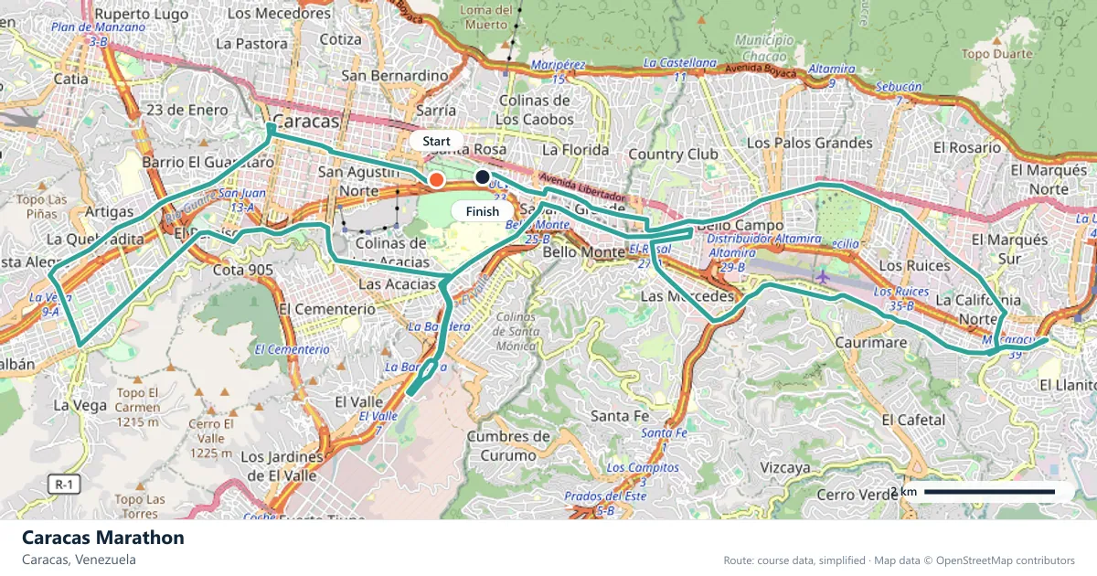
Where does the Caracas Marathon run?
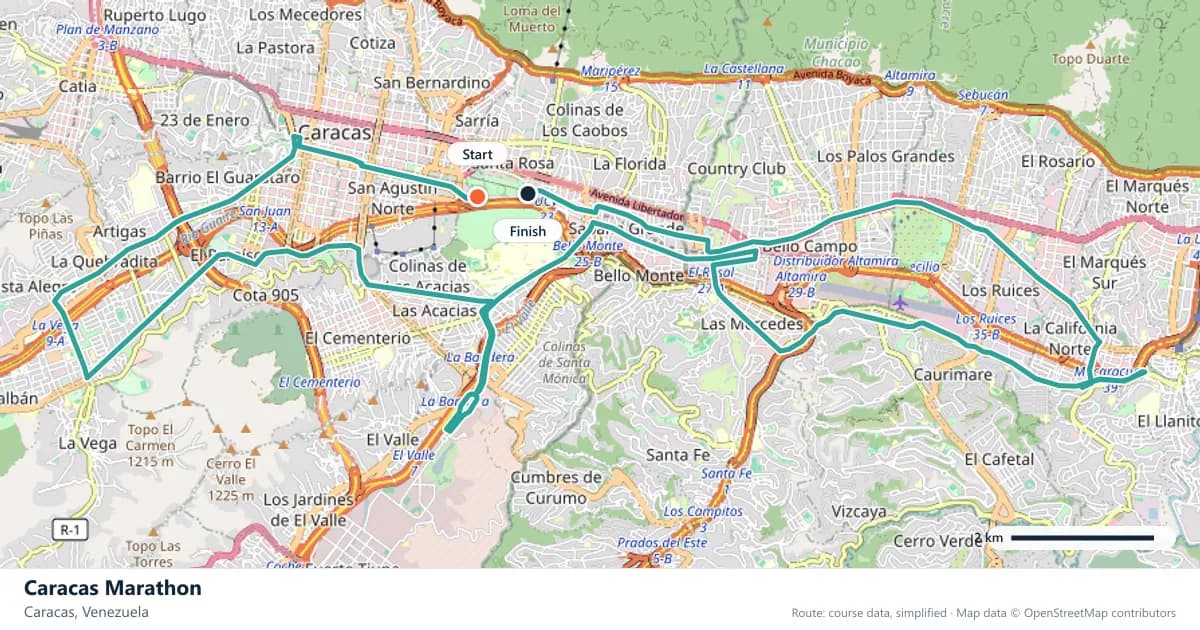
Interactive map
The trace follows the organizer's published course, simplified for the screen: the orange dot is the start, the dark dot the finish. Scroll to zoom, drag to pan.
What is the Caracas Marathon course like?
A marathon in the Caracas valley with the Ávila mountain rising above the course. Hilly and tropical, held in February when the early mornings are coolest.
- Next edition
- February 2027 (expected)
- Elevation gain
- 275 m
- Profile
- Hilly
- First run
- —
Course guide
Caracas spreads along a valley beneath the Ávila mountain, and the marathon uses that topography rather than fighting it. The date is February 2027 (expected), when the early mornings are at their coolest.
The course is hilly, with about 275 metres of climbing, and there is little sustained flat running. The Ávila rises above the city for much of the route, a constant reminder of the gradient and of how much of Caracas is built on slopes.
This is a tropical marathon, and February is chosen for the least punishing conditions of the year. The combination of heat and hills makes pacing by effort essential, and the race is best approached as a demanding city run rather than a time trial.
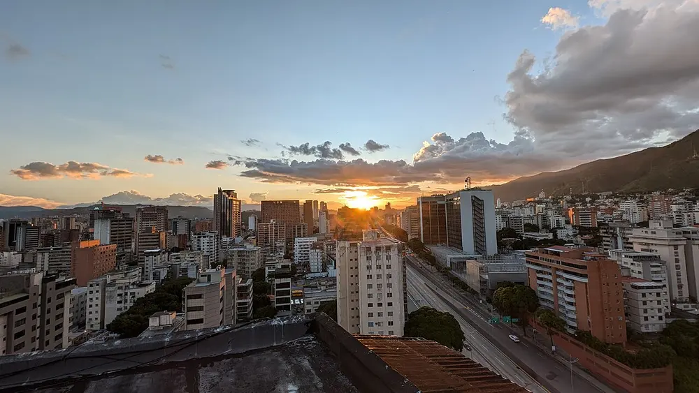
Atardecer en Caracas 2. Photo: Periodismodepaz / Wikimedia Commons, CC BY 4.0.
The course
The race takes place in the Caracas valley, with the Ávila mountain rising above the course. The route is hilly, gaining about 275 metres, and the climbs are part of the city's everyday topography rather than a single set-piece. Runners should expect a rolling course with little sustained flat running.
The city's shape matters here. Caracas runs east to west along a narrow valley, with the mountain to the north and lower hills to the south. The marathon uses the changing levels of that valley, so the course is never far from a rise or a drop. It is a very different proposition from a riverfront or coastal marathon.
The Ávila above the city
El Ávila is the mountain that defines Caracas. It rises steeply from the northern edge of the city, covered in green, and it is visible from much of the valley. For runners, it is both a landmark and a measure of the course: the race is always running beneath it, and the mountain makes the city's gradients impossible to forget.
The mountain also shapes the weather and the light. Its slopes catch the morning sun and can hold cloud, and the city below often feels enclosed by the ridge. On race day, the view gives the course a strong sense of place, especially in the early miles when the light is still soft.
El Ávila is also the city's collective backyard, a green edge to a dense urban valley and a place where caraqueños escape the heat. The ridge forms the northern wall of the valley, separating Caracas from the Caribbean coast beyond.
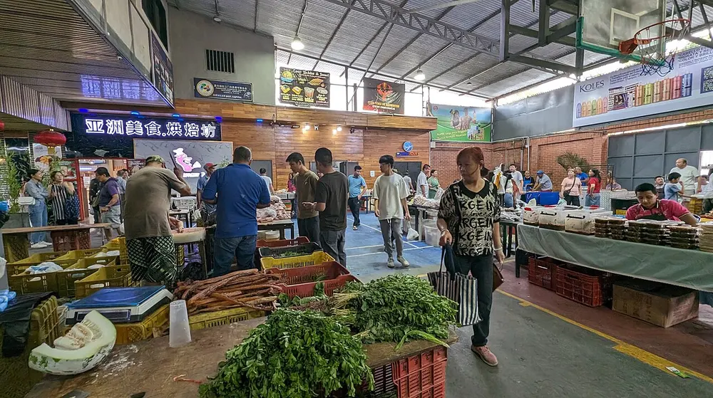
Mercado chino de El Bosque, en Caracas 2. Photo: Luis Carlos Diaz / Wikimedia Commons, CC BY 4.0.
Heat and the value of early miles
Caracas is tropical, and the February date is chosen because the early mornings are the coolest part of the year. That does not make the race cool. The warmth builds through the morning, and the hills add their own heat load, so the first hour is the most valuable part of the day.
The response is to start conservatively and take on water early. Tropical conditions can hide dehydration until it is already affecting the pace, and the combination of sun and climbing makes the effort feel higher than the numbers suggest. Run by feel, not by a target pace imported from a temperate race.
A hilly city course
With about 275 metres of climbing and little flat ground, the race is a continuous negotiation with gradient. The climbs are not alpine, but they are frequent, and the descents do not fully repay the energy spent going up. They are short enough to run, but repeated often enough to add up. That makes even effort the most useful pacing strategy.
Hill training is essential, but so is downhill practice. The descents in a city like Caracas can be steep and jarring, and unprepared quads will suffer in the second half. Include both directions in training, and expect the course to keep changing underfoot.
What to expect in February
February is the dry season in Caracas, and the month is chosen for the coolest mornings of the year. The city is still tropical, so warm conditions are part of the day, but the early start gives runners a window before the heat builds.
The date is expected rather than confirmed, so check the organiser's announcement before booking travel. The race is a serious undertaking in any case: the hills, the heat and the altitude of the valley combine to make it a day that rewards preparation over ambition.
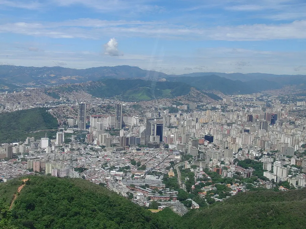
Caracas desde el ávila. Photo: Olga Berrios / Wikimedia Commons, CC BY 2.0.
Frequently asked questions
Answers to the questions runners ask before entering, drawn from this race's course guide and the directory's own data — the sources behind them are listed below.
When is the Caracas Marathon?
The edition covered here is expected in February 2027. The exact date is not yet confirmed, so check the organiser's information before booking travel.
Is the Caracas Marathon a flat or hilly course?
It is hilly, with about 275 metres of climbing. The route uses the Caracas valley's changing levels rather than following a flat loop, and there is little sustained flat running.
Is the Caracas Marathon good for a personal best or a first marathon?
The race is not built around fast times or debut-friendly terrain. The hills and tropical heat make it a harder day than a flat city marathon, and it suits runners who are prepared for both climbing and warm conditions.
Where is the Caracas Marathon run?
It is run in Caracas, Venezuela, in the valley beneath the Ávila mountain. The course stays within the city and uses its rolling terrain.
Why is the Caracas Marathon held in February?
February is chosen because the early mornings are the coolest of the year in Caracas. The race is tropical, so a cooler month makes racing more manageable, though runners should still expect warm conditions.
What role does the Ávila play in the race?
The Ávila rises above the city and is visible for much of the course. It is the landmark that defines Caracas and a constant reminder of the hills the route uses.
More marathons in Americas
Sources for this page
What each source below is used for on this page, and where to check this race yourself.
- World Athletics — the label calendar and the road-race regulations. Used to check whether the race holds a World Athletics label, and its elite competition details.
- AIMS — the international course-measurement standard behind the 42.195 km distance, and the AIMS race calendar.
- The organizer's own publications — course maps, race handbooks and published results. The date, course character and climbing on this page are compiled from them and re-checked each season.
Where do these facts come from?
Dates, course type, climbing and time limits are compiled from the organizer's publications and re-checked each season; elevation is an estimate of total climbing rather than a survey figure. Always confirm race-day details with the organizer before making plans.
Last reviewed 27 October 2026