
Lima Marathon
Lima's marathon often begins in fog. The Pacific coast is wrapped in grey cloud when the race starts, the cliffs at Miraflores disappear into the murk, and the city feels smaller and quieter than it…
By Global Marathon Routes editorial team · Last reviewed 27 October 2026
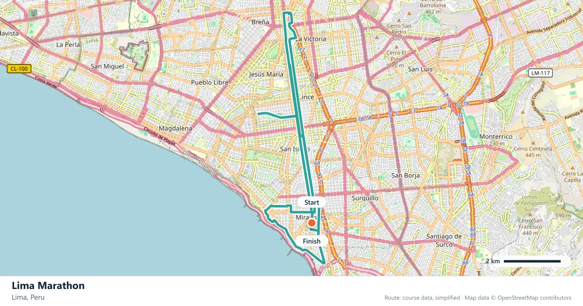
Where does the Lima Marathon run?
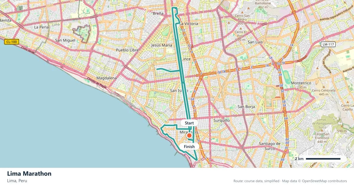
Interactive map
The trace follows the organizer's published course, simplified for the screen: the orange dot is the start, the dark dot the finish. Scroll to zoom, drag to pan.
What is the Lima Marathon course like?
A coastal marathon through Lima's districts and past the cliffs at Miraflores. Hilly, and often still wrapped in Pacific fog when the gun goes.
- Next edition
- May 2027 (expected)
- Elevation gain
- 264 m
- Profile
- Hilly
- First run
- —
Course guide
Lima's marathon often begins in fog. The Pacific coast is wrapped in grey cloud when the race starts, the cliffs at Miraflores disappear into the murk, and the city feels smaller and quieter than it will later. The 2027 edition is expected in May.
Lima's course is hilly, climbing about 264 metres as it follows the coastal districts past the cliffs at Miraflores. There is no single long ascent, but the repeated changes of grade mean the legs never settle into a fully flat rhythm. The fog, the sea and the cliffs give the race a character that is unmistakably Lima.
It is also a course that suits a first marathon. The climbing is manageable, the route stays within the city and the coastal setting provides constant distraction. Runners who start conservatively and dress for the fog can have a memorable debut.
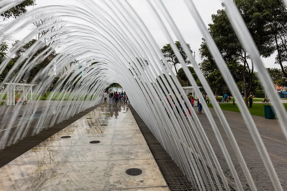
Circuito mágico del agua, Parque Reserva, Lima, Perú, 2015-07-28, DD 124. Photo: Diego Delso / Wikimedia Commons, CC BY-SA 4.0.
The course
The route follows Lima's coastal districts and passes the cliffs at Miraflores, where the city sits above the Pacific. Short climbs and rolling sections carry the course inland and back towards the coast. There is no single long ascent, but the repeated changes of grade keep the effort honest.
The coastal setting is the constant. Even when the fog hides the water, the cliffs and the sea air are present, and the course's shape is defined by the edge of the city. The inland sections add the rises; the coast adds the openness.
The cliffs of Miraflores
Miraflores sits on top of a cliff line above the Pacific, with a long promenade, the malecón, running along the edge. Below it, the Costa Verde road follows the shore, connecting the city's coastal districts. The cliffs are a defining feature of Lima, and the marathon passes them.
The cliff-top stretch is the most distinctive part of the course. The ground is exposed, the views open up when the fog lifts, and the sea is suddenly far below. It is a place to notice rather than to surge, especially if the wind is up.

Comercio de peluches en Lima, Perú, 2015-07-28, DD 47. Photo: Diego Delso / Wikimedia Commons, CC BY-SA 4.0.
Fog off the Pacific
Lima's coastal fog is a fact of life. The cold Humboldt Current cools the air over the ocean, and the result is the grey garúa that can persist into the morning. The race often starts with the coast obscured, and the first miles can feel cool and muted.
The fog is not a problem for running, but it changes how the day feels. Visibility is low, the sun is hidden, and the city sounds different. Runners should dress for the start rather than the midday city, and should not expect the views to appear on cue.
Hills above the ocean
About 264 metres of climbing is spread through the route in short rises. The hills are not severe, but they are frequent, and they arrive in the middle of a coastal course that looks flatter than it is. The climbs take the runners inland and away from the sea, then return them to the edge.
The right approach is to run by effort and let the pace recover on the descents. Trying to hold flat-course splits on a rolling route is a quick way to spend energy. The hills are manageable individually; it is the accumulation that matters.
A debut above the Pacific
The race suits a first marathon. The climbing is moderate, the route is contained within Lima and the coastal setting keeps the day interesting. The fog is the main practical consideration: start cool, stay visible and do not over-dress for a morning that may stay grey.
The reward is a marathon that feels like a tour of Lima's coast. The cliffs, the Pacific and the districts along the water give the race a strong identity, and the route has more character than many city marathons.
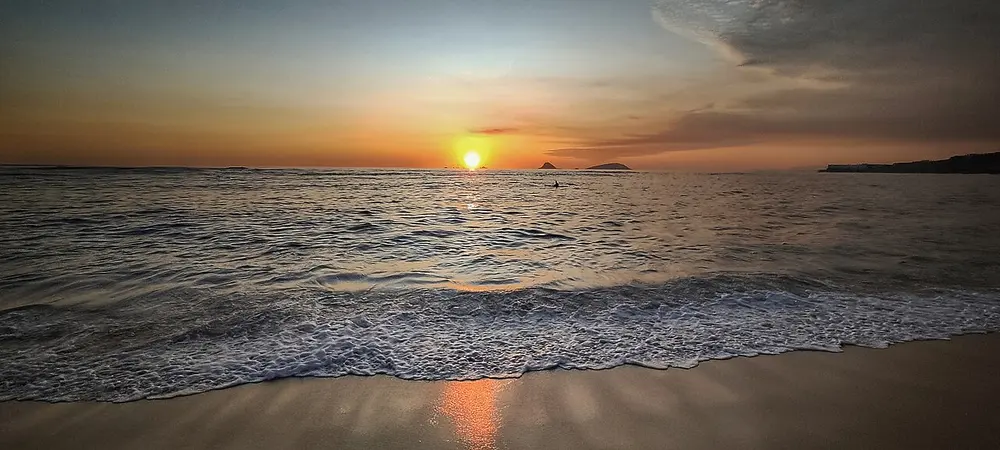
El Silencio Lima Peru 1. Photo: Zoe PM / Wikimedia Commons, CC BY-SA 4.0.
Frequently asked questions
Answers to the questions runners ask before entering, drawn from this race's course guide and the directory's own data — the sources behind them are listed below.
When is the Lima Marathon?
The 2027 edition is expected in May. The exact date has not been confirmed, so check the organiser's information before making travel plans.
Is the Lima Marathon flat or hilly?
It is hilly, with about 264 metres of climbing. There is no single long climb, but the repeated rises across the coastal districts keep the course from being flat.
Can I run Lima as my first marathon?
Yes, the race suits a first marathon. The climbing is manageable and the route stays within the city, although the rolling ground and the foggy start require a sensible plan.
What is the fog like on race day?
It is often present at the start. Lima's Pacific fog can obscure the coast, keep the early miles cool and delay the views. Dress for a grey morning rather than a sunny one.
Where is the Lima Marathon run?
It runs through Lima's coastal districts and past the cliffs at Miraflores, with the Pacific never far away.
Is the Lima Marathon a personal-best course?
The race is not set up as a personal-best course. The 264 metres of rolling climbing and the coastal conditions make even pacing harder, even though the hills are not extreme.
What are the cliffs at Miraflores like?
They are a long cliff line above the Pacific, with a promenade along the top and the Costa Verde road below. The marathon passes them, and the sea views are the course's signature.
More marathons in Americas
Sources for this page
What each source below is used for on this page, and where to check this race yourself.
- World Athletics — the label calendar and the road-race regulations. Used to check whether the race holds a World Athletics label, and its elite competition details.
- AIMS — the international course-measurement standard behind the 42.195 km distance, and the AIMS race calendar.
- The organizer's own publications — course maps, race handbooks and published results. The date, course character and climbing on this page are compiled from them and re-checked each season.
Where do these facts come from?
Dates, course type, climbing and time limits are compiled from the organizer's publications and re-checked each season; elevation is an estimate of total climbing rather than a survey figure. Always confirm race-day details with the organizer before making plans.
Last reviewed 27 October 2026